Pantani Climbs
Colle della Fauniera from Pradleves
| Lenght | Elevation | Average Gradient % | Done |
| 22.5 | 1689 | 7.9 | 12 August 2025 |
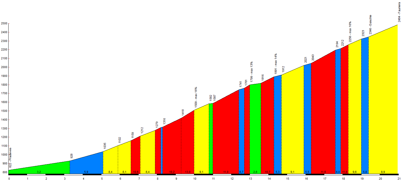
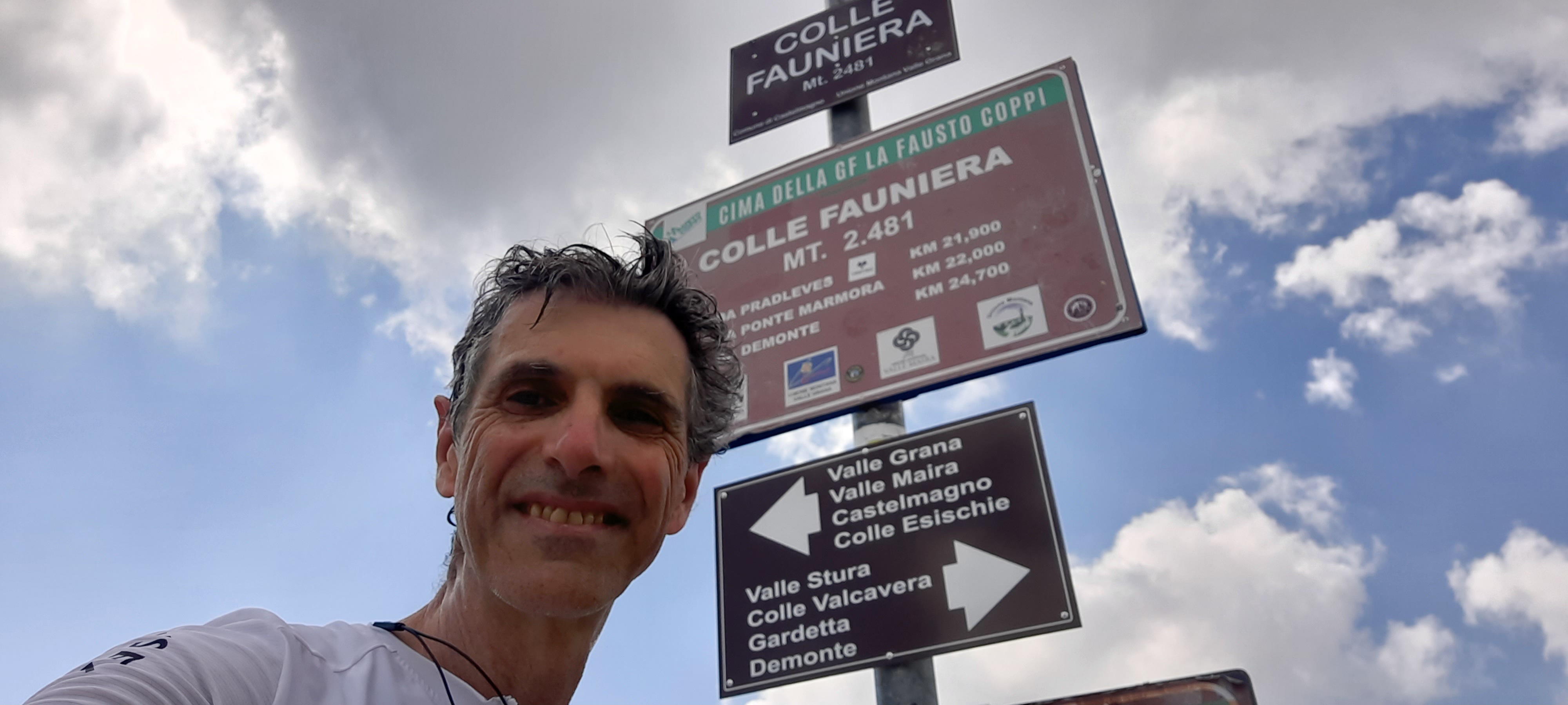
The ascent to Colle Fauniera spans approximately 22.5 kilometers from Pradlèves (822 m a.s.l.) to the summit (2,511 m a.s.l.).
Overall, the average gradient is around 9%, though it peaks at 11.4% right near the Sanctuary of San Magno. The road is closed from November to April, and generally whenever weather conditions are extremely harsh.
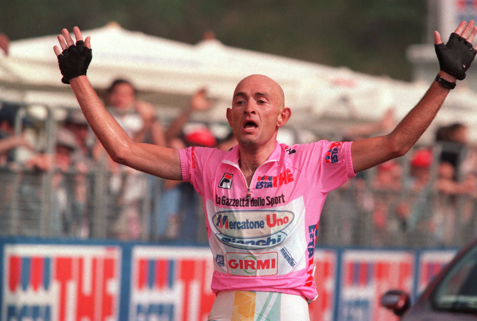
Much of Colle Fauniera’s renown is linked to the Giro d’Italia. Despite the challenging nature of the route, Colle Fauniera has rarely been included in the race, even as a pass-through point. It was featured, however, in 1999—the year of Marco Pantani’s legendary feat, when he claimed the maglia rosa (pink jersey) on these very roads during the Bra–Borgo San Dalmazzo stage.
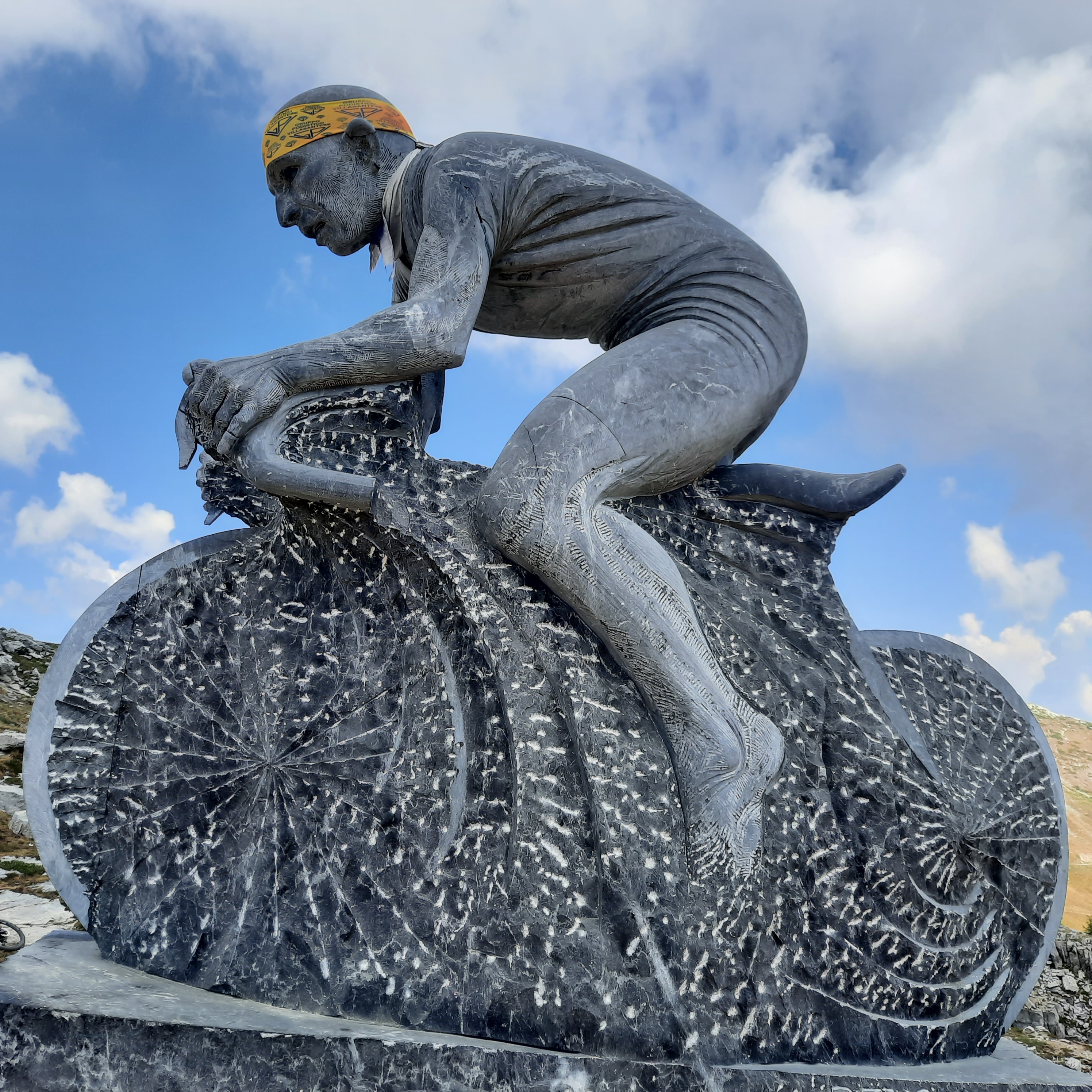
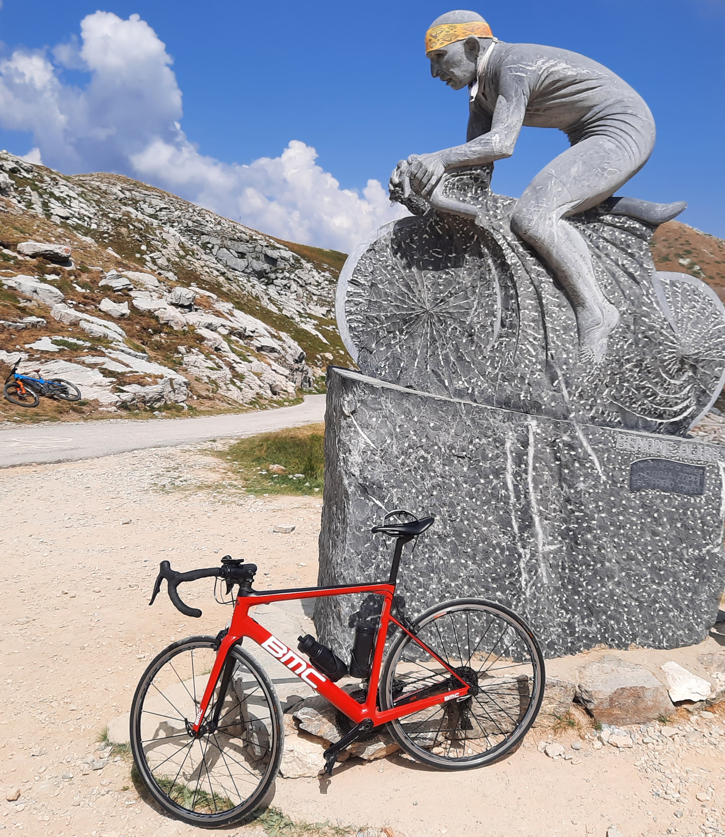
That stage was won by Paolo Savoldelli, who secured his victory on the descent from Colle Fauniera. A statue dedicated to “Il Pirata” (The Pirate) also stands just before Colle del Vallonetto.



Plan di Montecampione from Pian Camuno
| Lenght | Elevation | Average Gradient % | Done |
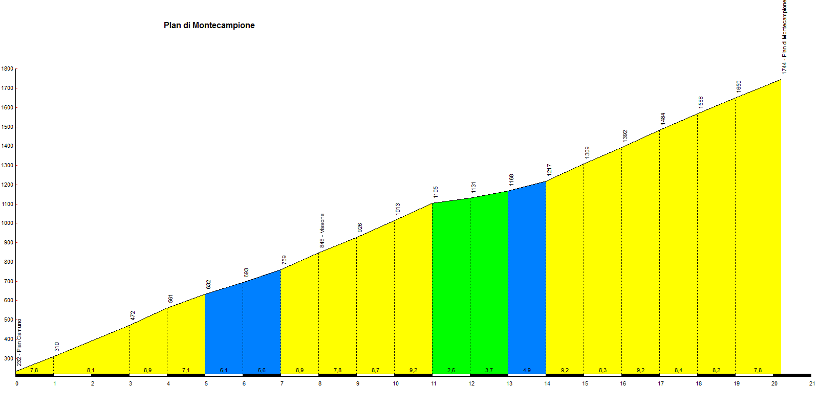
| 20.2 | 1512 | 7.5 | 12 April 2026 |
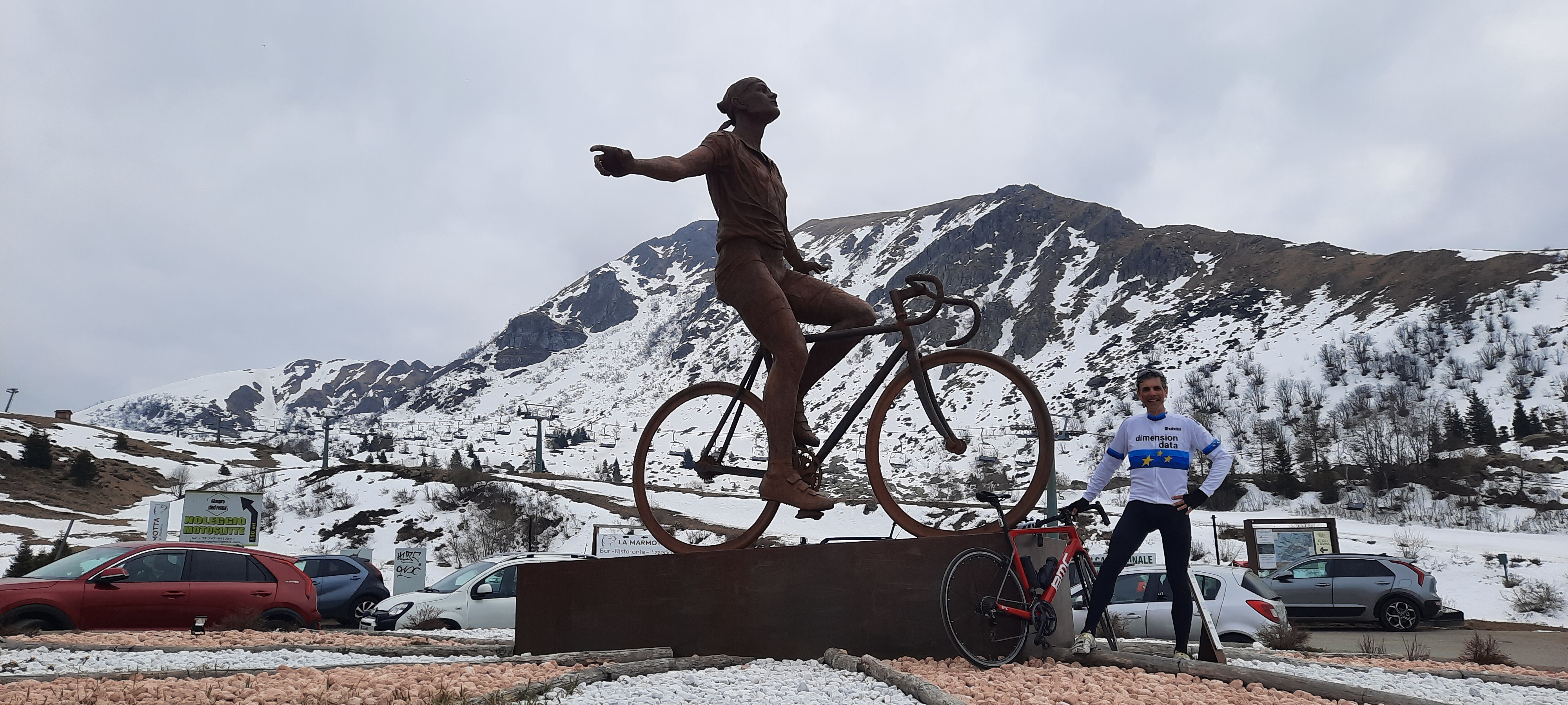
On June 4, 1998, Marco Pantani won the Giro d’Italia stage at Montecampione, effectively securing the Giro title and launching his magnificent Giro-Tour double.
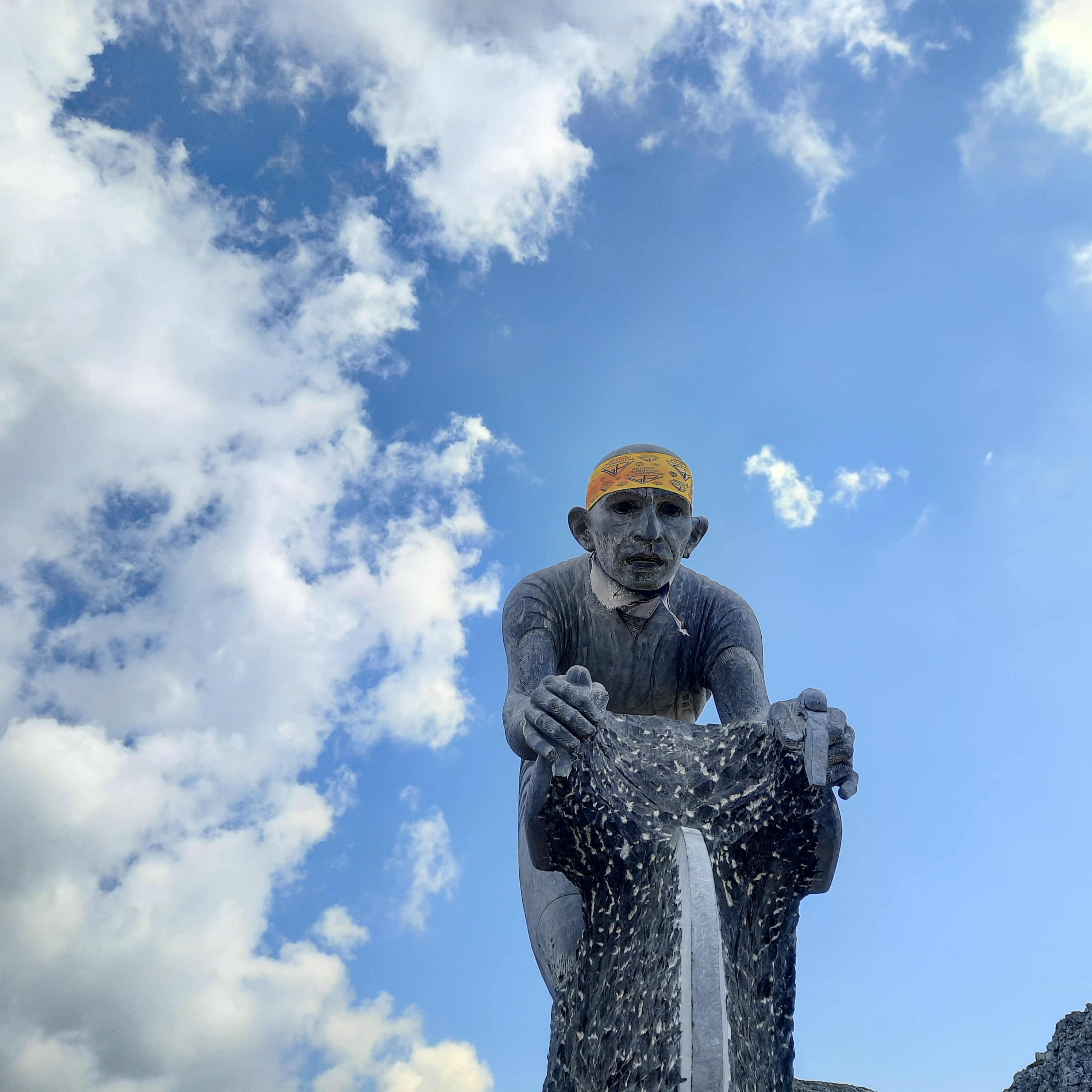
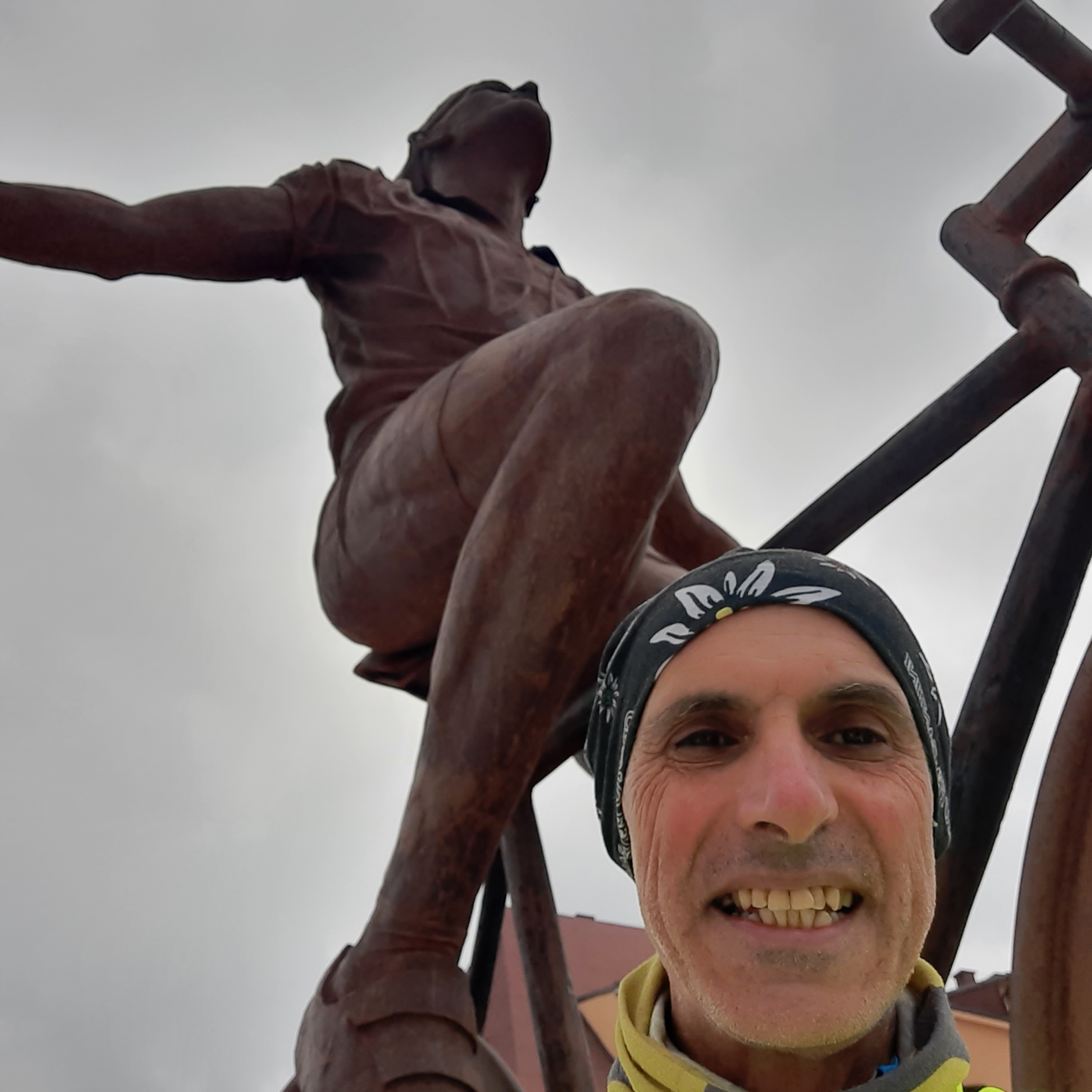
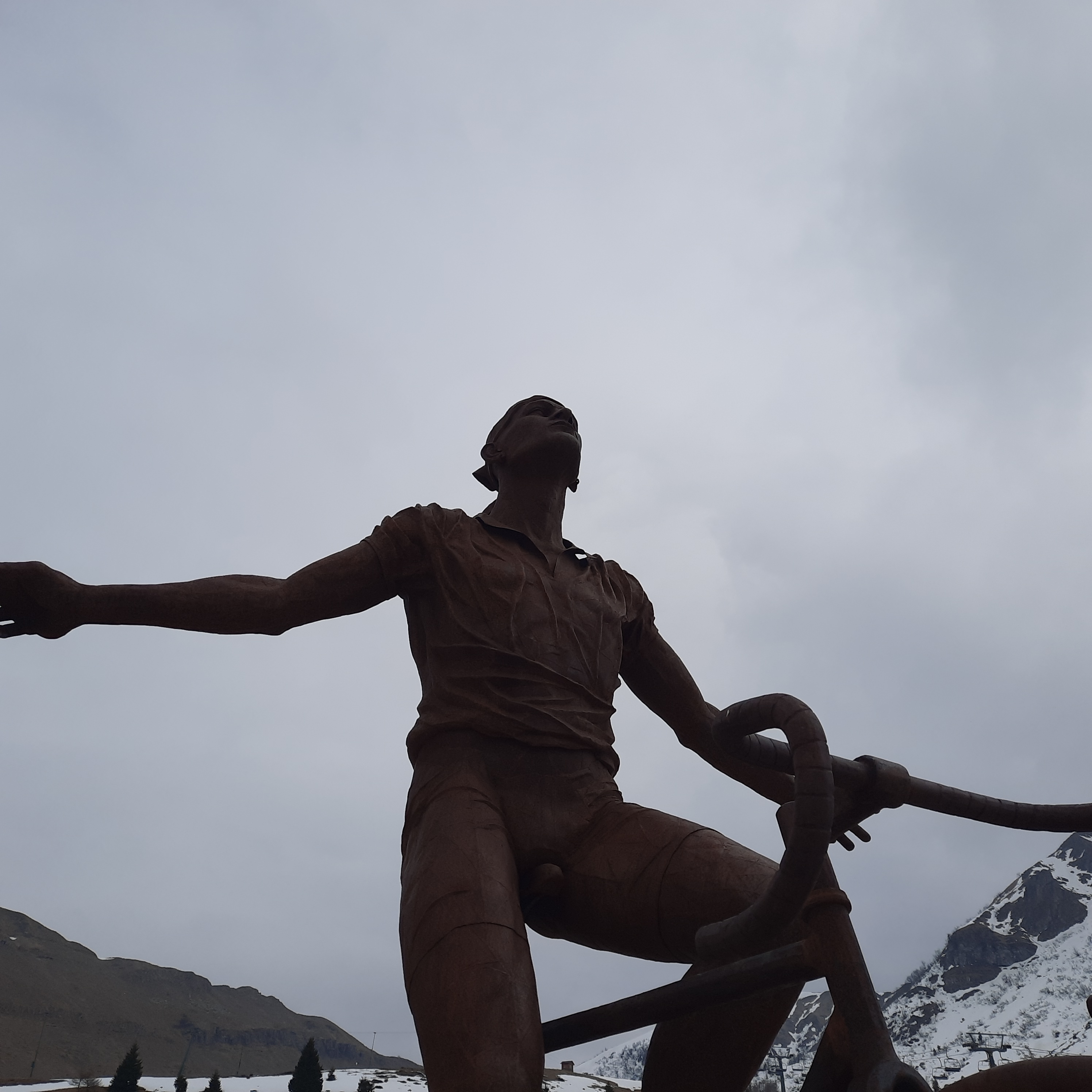
At the end of the stage’s final climb—from Pian Camuno to Plan di Montecampione—a statue has been erected, immortalizing him in that final moment where, with eyes closed, he “embraces” victory. It is a 20-kilometer climb offering few stretches of respite.
Marco crushed Tonkov with an impressive series of attacks, crossing the finish line solo with a 57-second lead. For much of the way, the climb offers panoramic views of the Camonica Valley and Lake Iseo.

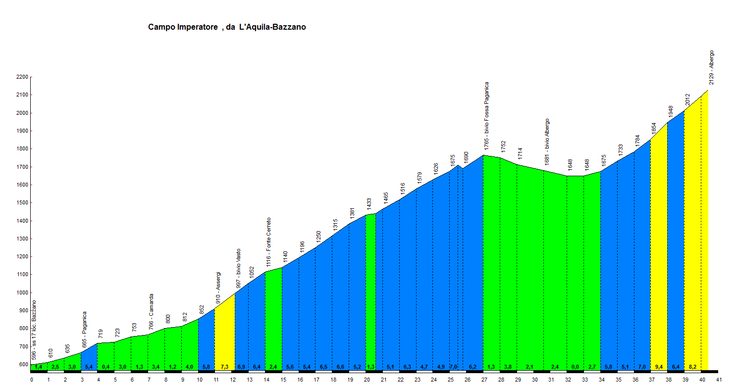
Campo Imperatore from Bazzano
| Lenght | Elevation | Average Gradient % | Done |
| 40.4 | 1670 | 4.1 |
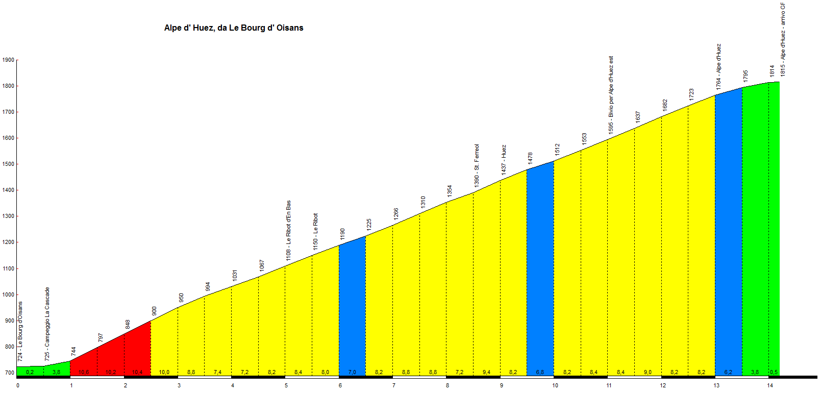
Alpe d’Huez from Bourg d’Oisans
| Lenght | Elevation | Average Gradient % | Done |
| 14.2 | 1091 | 7.7 |
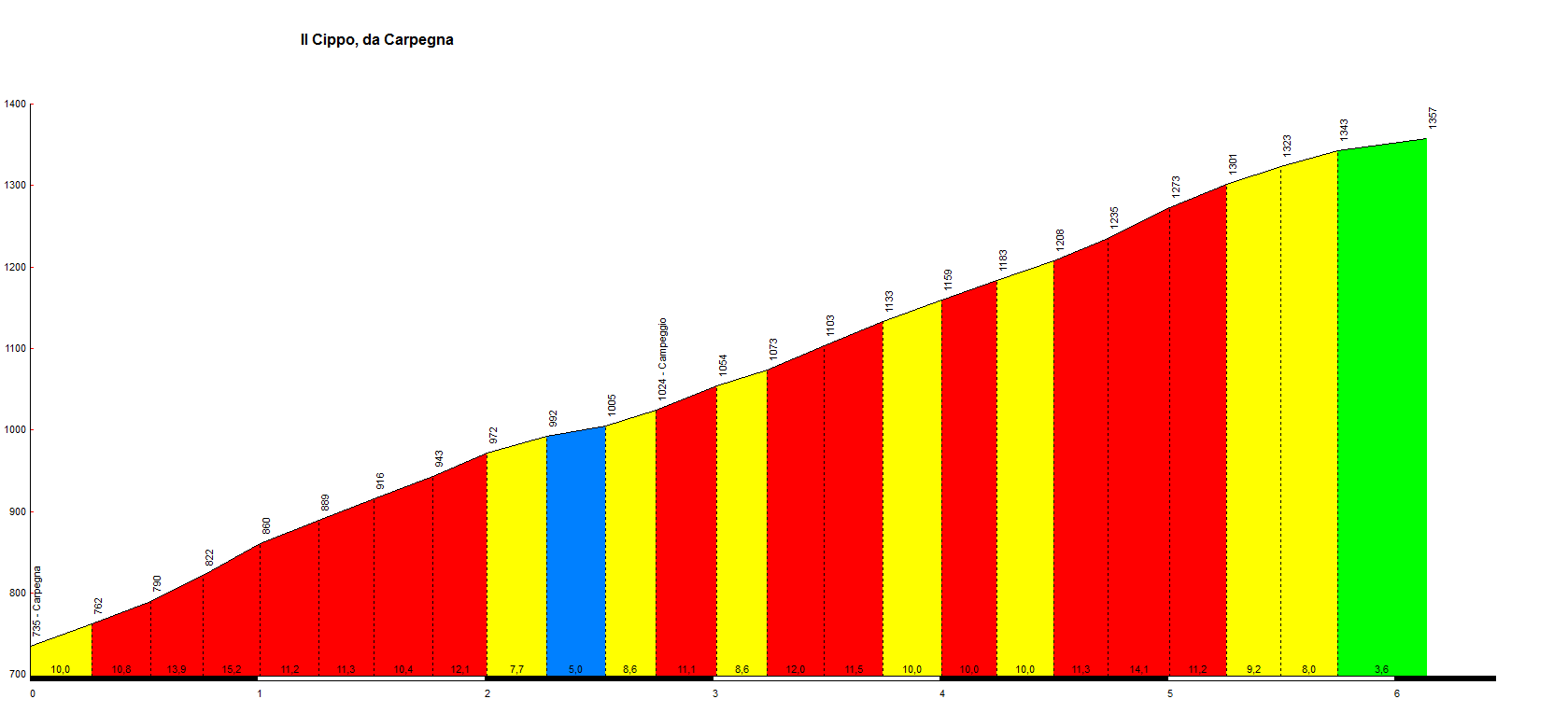
Il Cippo from Carpegna
| Lenght | Elevation | Average Gradient % | Done |
| 6.1 | 622 | 10.1 | 18 October 2026 |
Where did Pantani train? To answer this question, one need only recall one of his most famous remarks: “Carpegna is enough for me.”
With these words, Marco was saying that he didn’t need to test himself on the great Alpine climbs (such as the Mortirolo or Alpe d’Huez) before the Grand Tours; these few kilometers were all he required to gauge his form and determine whether he was in shape to win. The climb is located about 70 km from Cesenatico—where Marco would begin his training—and, while short (approximately 6 km), it is exceptionally steep, with initial sections and pitches reaching gradients of 18–20%. It is an ideal ascent for explosive climbers and pure mountain specialists.
The climb is dotted with mementos, plaques, and monuments dedicated to the champion from Romagna. In 2023, the mountain was officially named “Passo Marco Pantani.”
Nestled within the forests of the Tuscan-Romagnol Apennines (near the borders of the Marche, Emilia-Romagna, and Tuscany regions), the road is quiet and secluded, far removed from the traffic of major tourist destinations.
The classic route Marco Pantani took to train on Carpegna began right at his home in Cesenatico, on the Adriatic coast, covering a round trip of approximately 100–140 kilometers.
The itinerary consisted of two parts: the approach through the Romagna hinterland and the grueling final ascent.
- The approach from the coast (approximately 45–50 km)
Starting from Cesenatico, Pantani would cross the plains, passing Cesena, and head toward either the Savio Valley or the Marecchia Valley. The typical route would head up into the inland hills, passing through places like Mercatino Conca, Sassocorvaro, or Pennabilli, and tackling a constant, restless succession of short climbs and descents—the classic Apennine “rolling terrain”—which served as a perfect warm-up for the legs. - The ascent of Monte Carpegna (the “Cippo” side)
Upon reaching the foot of the mountain, “Il Pirata” would take on the very slope that became etched into the history of cycling—a climb that begins right in the heart of the village of Carpegna (750 m above sea level).
The climb unfolds as follows:
- The first 2 km: Starting from the village, the route begins along Via Castello. Initially manageable, the road soon becomes steep, winding through the meadows of the Montefeltro region—the very spot where a sign now stands bearing the famous phrase, “Il Carpegna mi basta” (“Carpegna is enough for me”).
- The woods and the “Cippo” (the final 4 km): Beyond the barrier that closes the road to vehicular traffic, the route enters a dense pine forest via Via Cippo. Here, the road turns into a grueling ascent: 4 consecutive kilometers with an average gradient of 12%, reaching peaks of up to 20% near the “Cippo” campsite. The dedicated hairpin bends: Pantani would climb all 22 hairpin turns along the paved road—each of which now bears the name of a major achievement or a significant moment from his career.
- Reaching the summit: The climb concludes at the fountain at Passo Marco Pantani (approximately 1,360 meters above sea level), near the summit meadows and the area housing the antennas, where a monument in his honor stands. After completing the ascent—which he would sometimes repeat multiple times in a single day when pushing for maximum effort—”Il Pirata” (The Pirate) would descend the opposite side toward Passo Cantoniera, before making his way back to Cesenatico along the roads of the Romagna region.
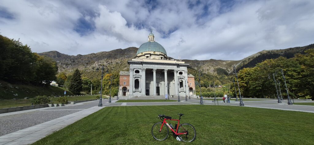
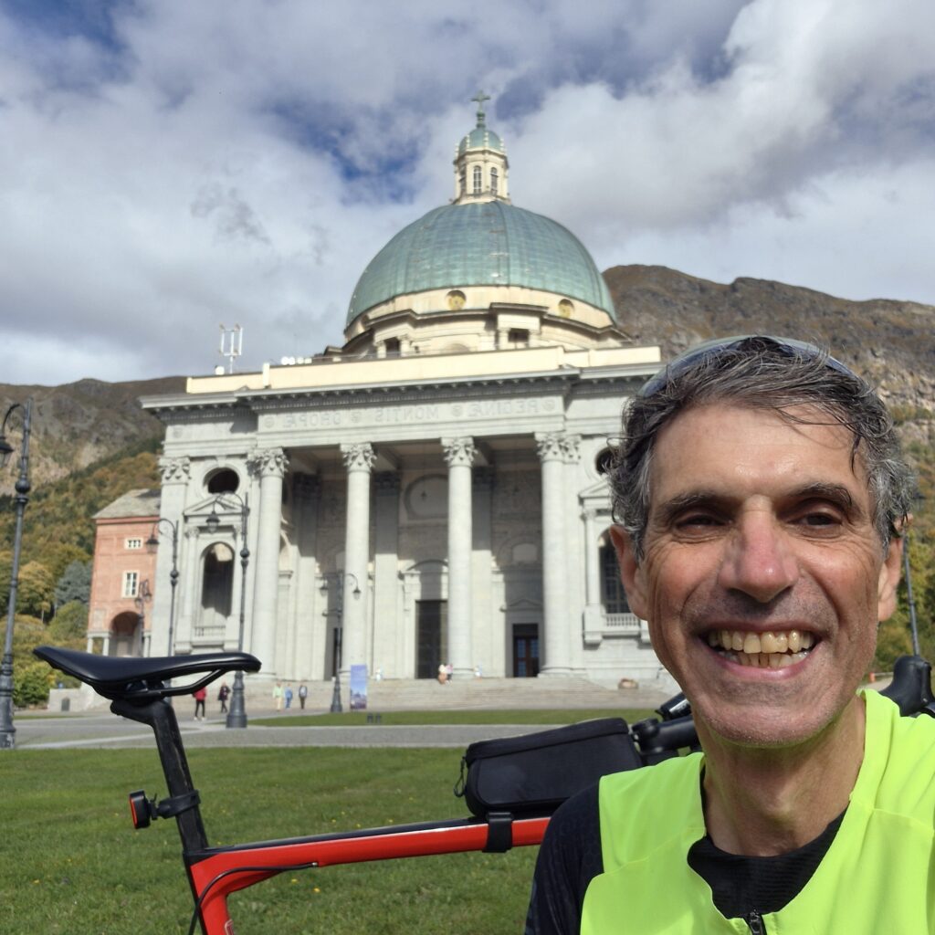
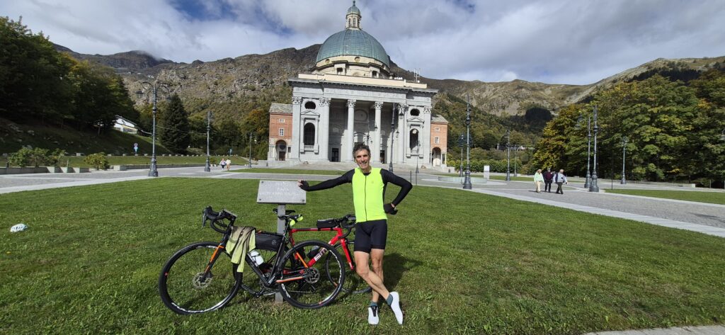
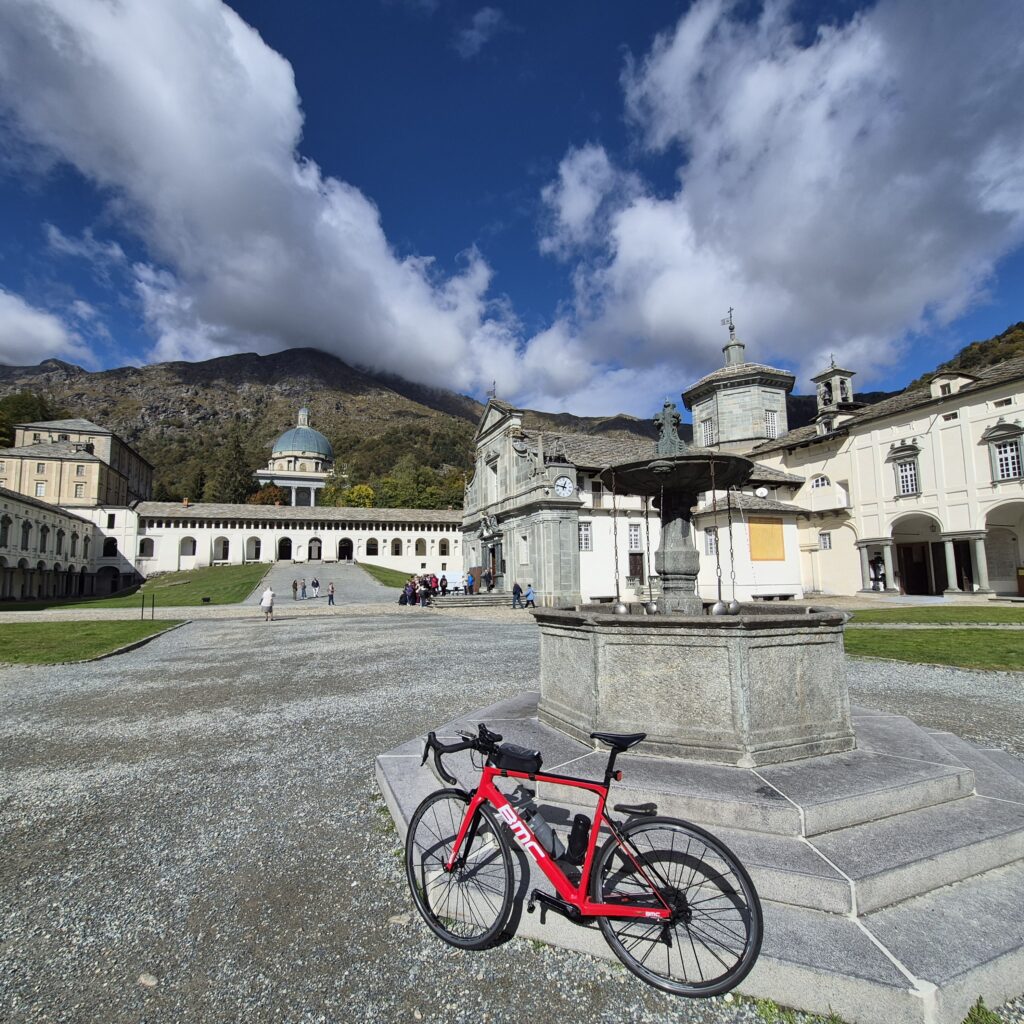
Santuario di Oropa from Biella
| Lenght | Elevation | Average Gradient % | Done |
| 13 | 757 | 5.8 | 9 October 2026 |
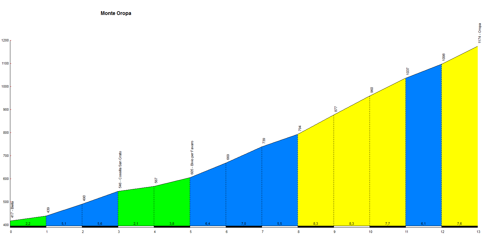
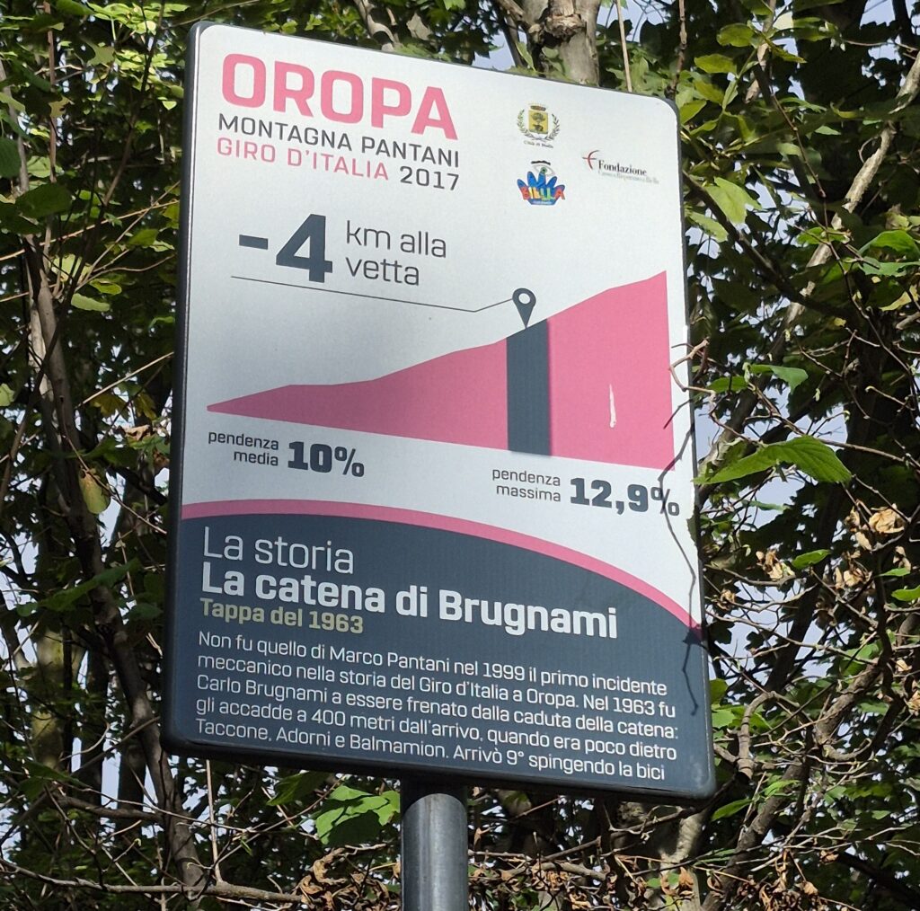
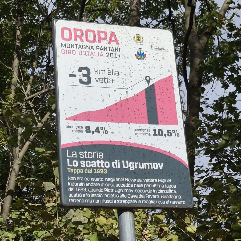
The Oropa climb is legendary above all for Marco Pantani’s extraordinary comeback during the 1999 Giro d’Italia. During the stage finishing at Oropa, “Il Pirata” suffered a mechanical issue—his chain slipped—at the start of the ascent. Left trailing with dozens of rivals ahead of him, he fought his way back, overtaking no fewer than 49 riders. He caught and dropped the Frenchman Laurent Jalabert, winning the stage solo and cementing the climb’s place in cycling history.
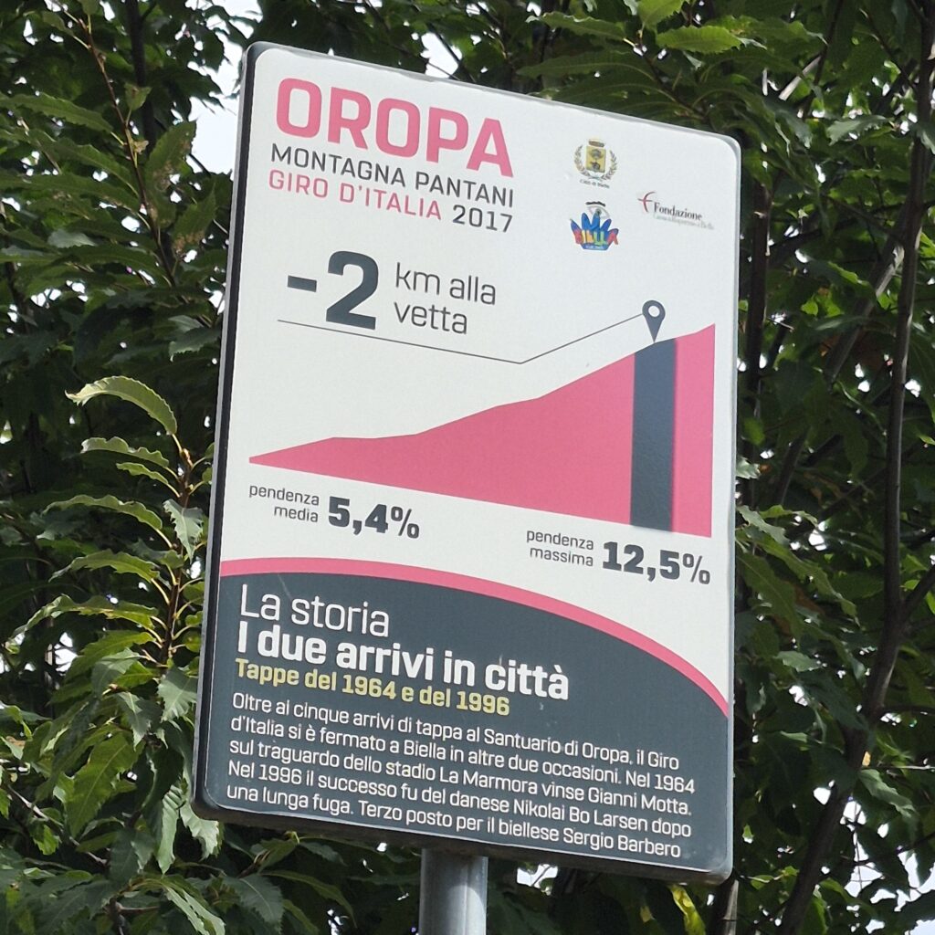
The climb spans approximately 11.8 kilometers from Biella to the Sanctuary of Oropa, with an elevation gain of over 700 meters. It features a more manageable initial section followed by a very tough second half, with gradients peaking at 13%.
The Corsa Rosa has finished here several times, crowning champions such as Vito Taccone, Tom Dumoulin, and Tadej Pogačar.
The extraordinary comeback of Pantani at Oropa in Giro d’Italia 1999
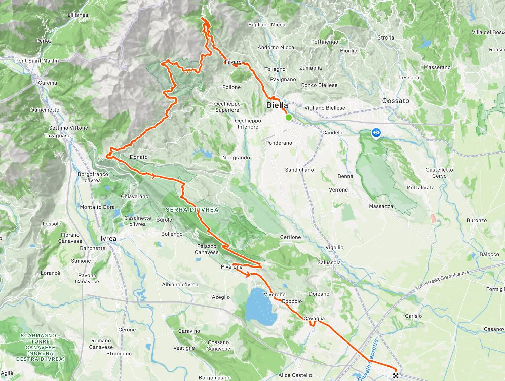
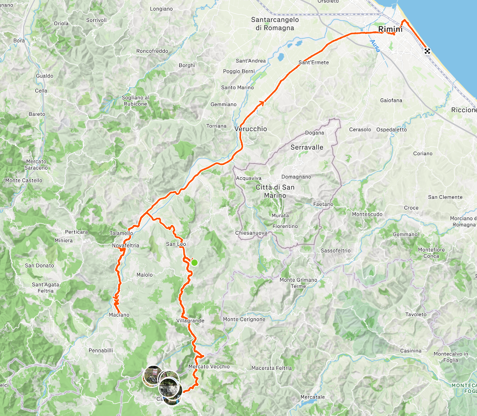
The route I took started in Biella, led up to the Sanctuary, and then continued toward Pinerolo along a beautiful road through the woods, passing by Andrate and Lake Viverone.